Kosarad
Jelenleg nincs más termék a kosaradban
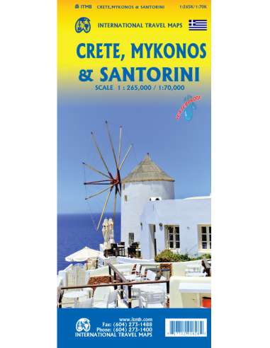
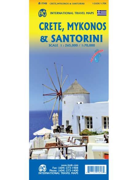

Crete - Mykonos and Santorini - Kréta - Mikonosz - Szantorini térkép
91828
7 190 Ft
ÁFA-val
1-5 munkanap
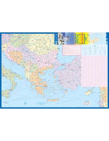
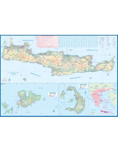
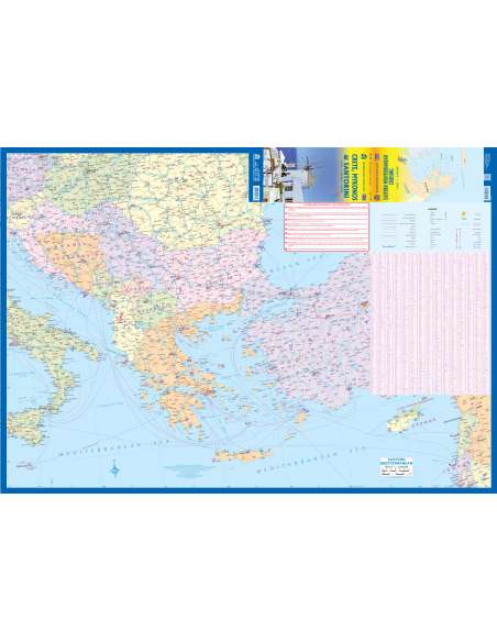
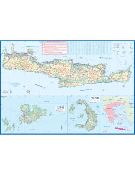
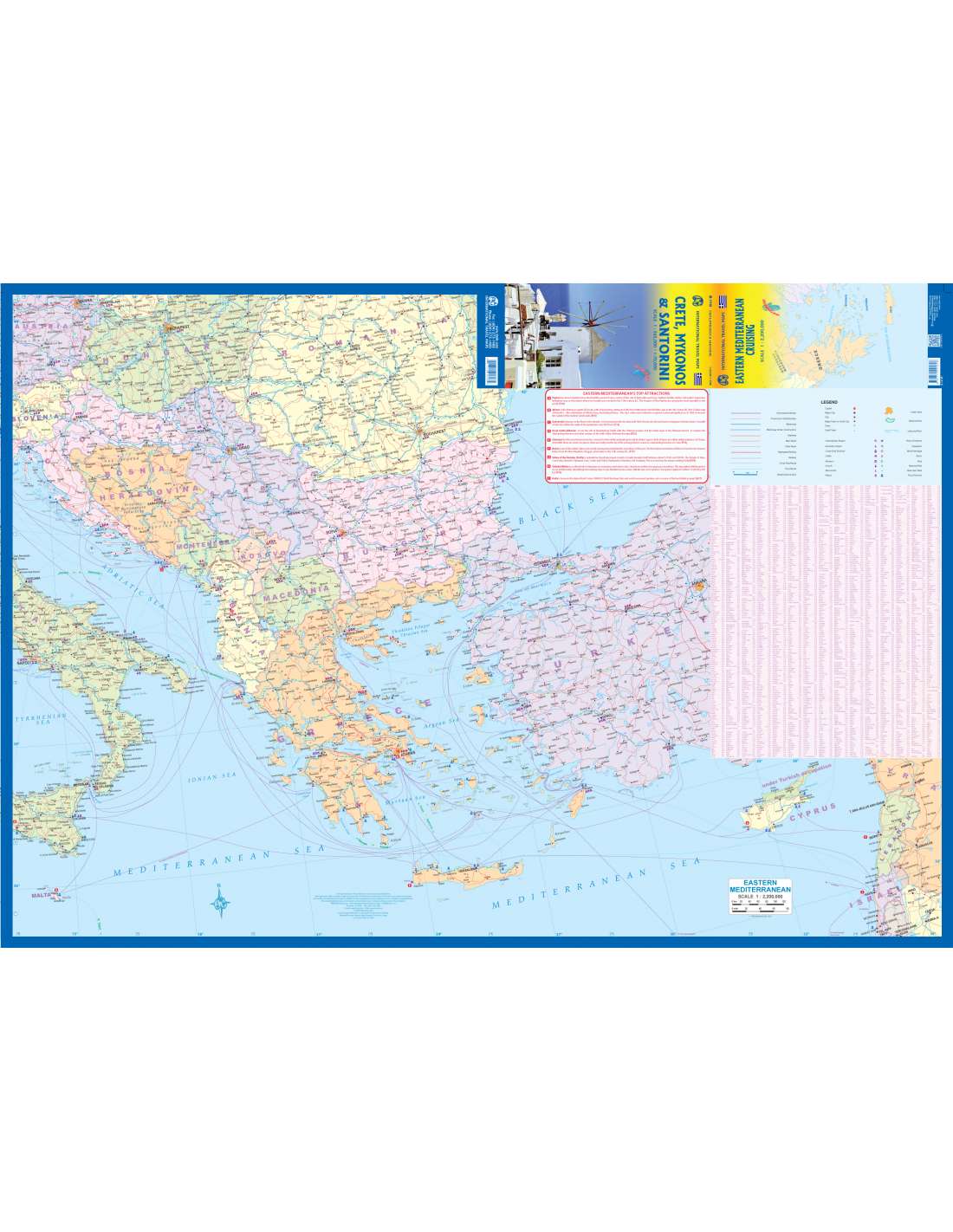
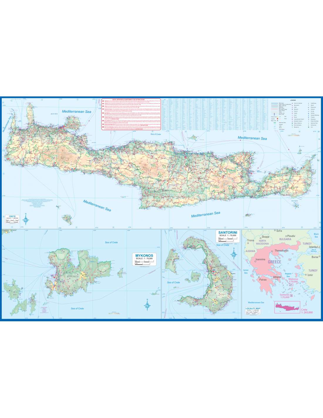
The many islands off the coast of Greece can only be mapped properly a few at a time. Side 1 of this map shows the large island of Crete in good detail, with the relatively nearby island of Mykonos and its adjacent island of Rinia and the island of Santorini, with its adjacent islands of Thirasia and Nea Kameni being shown in great detail. A locality map showing the islands in relation to the rest of Greece is included as an inset. It is our intention to map more islands as time passes, but this depends upon future research trips (we lead a hard life!). Side 2 of the map is a general map of Greece in relation to its neighbours to the north and east. The Mediterranean is divided into smaller seas, such as the Adriatic along the coast of Croatia, the Ionian to the west of Greece, the Myrtoan to its south and the Aegean to its east. All this area is replete with islands and geopolitical conflicts. As such, this map is useful for showing the region as an entity that links the Balkan states to the eastern Mediterranean.
Nagyításhoz érintsd meg (kattints)