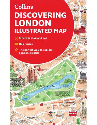
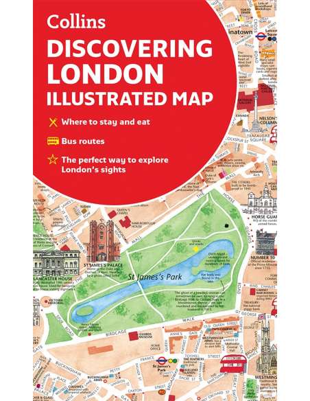
Discovering London Illustrated Map - London térkép

Discovering London Illustrated Map - London térkép

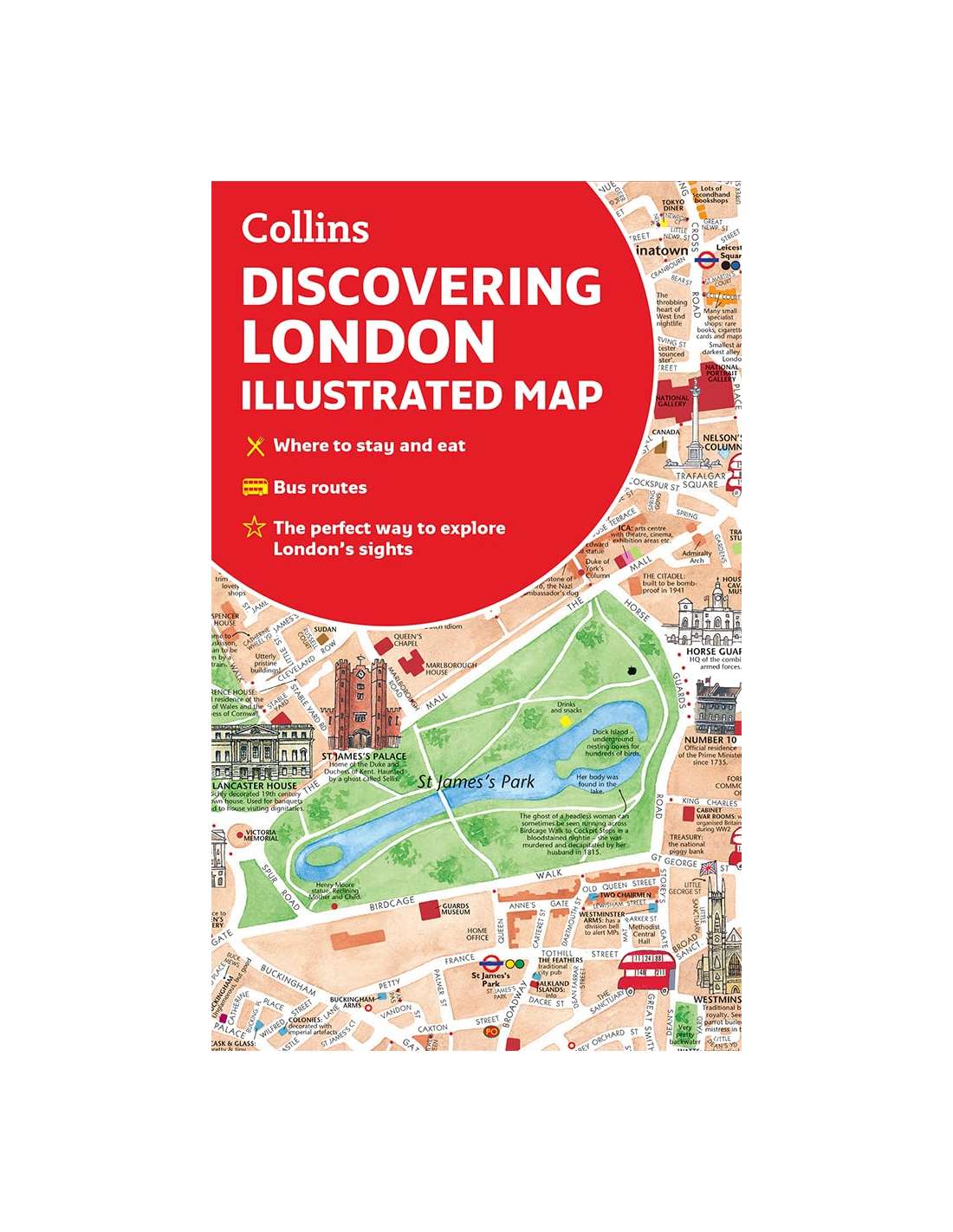
Collins
92618
4 750 Ft
ÁFA-val 1-5 munkanap

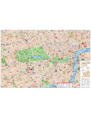
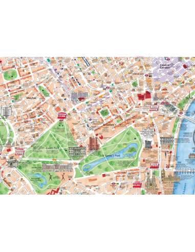
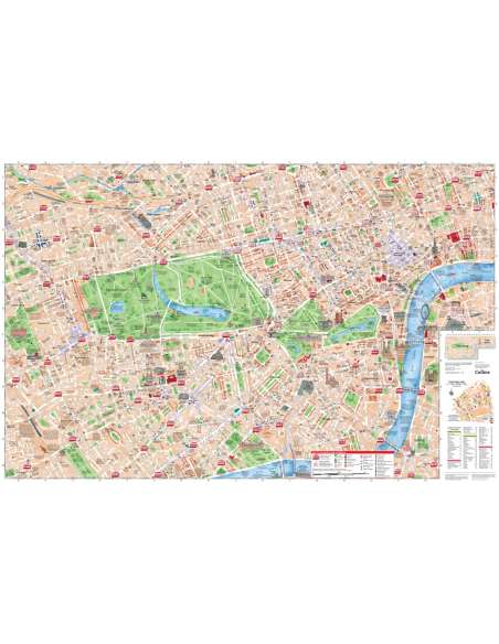
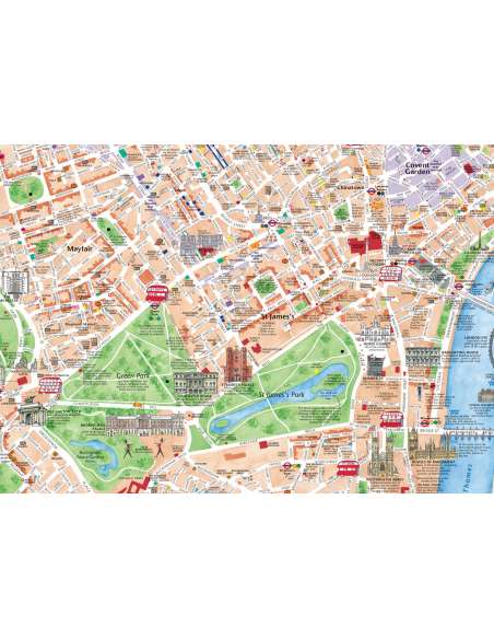
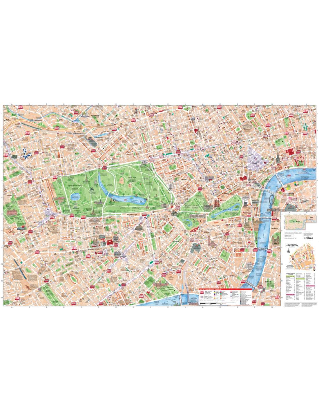
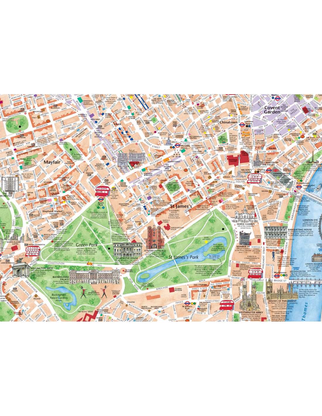
Coverage extends from Regent’s Park in the north to Battersea in the south, and from Kensington in the west to Tower Bridge in the east.

The map features:

Railway stations, bus routes, London underground map, taxi ranks and car parks

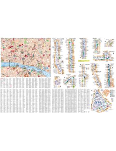
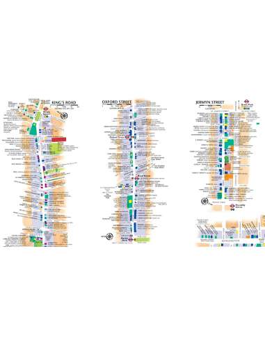
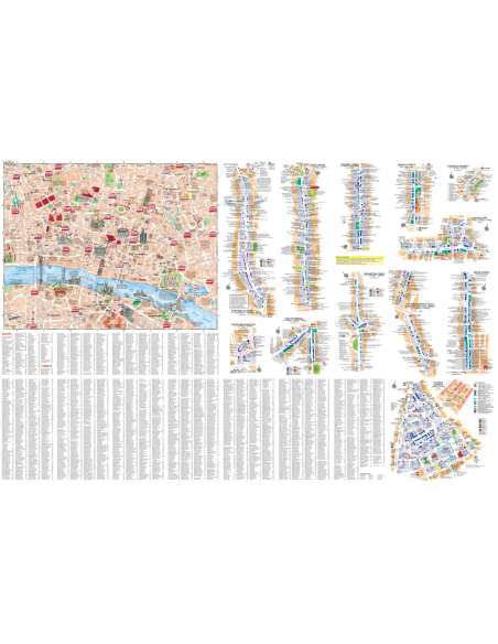
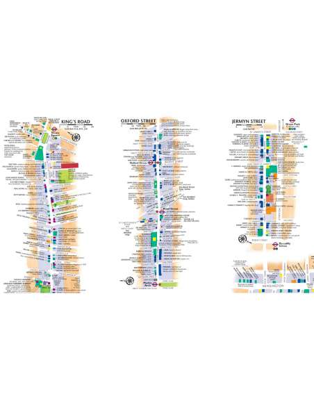
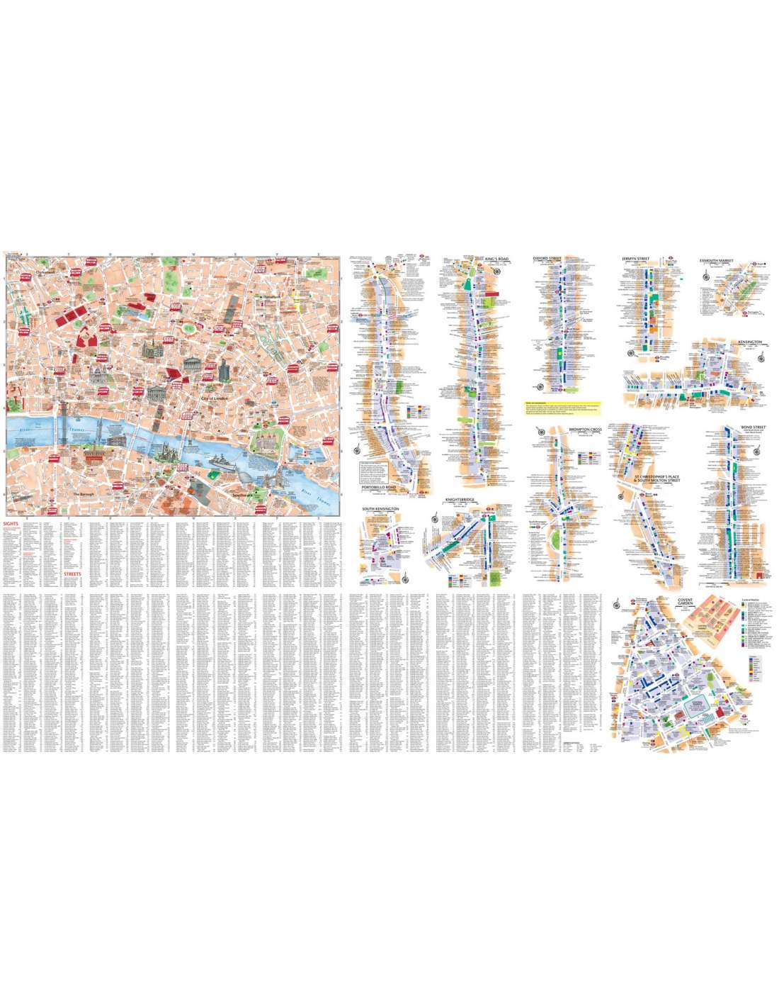
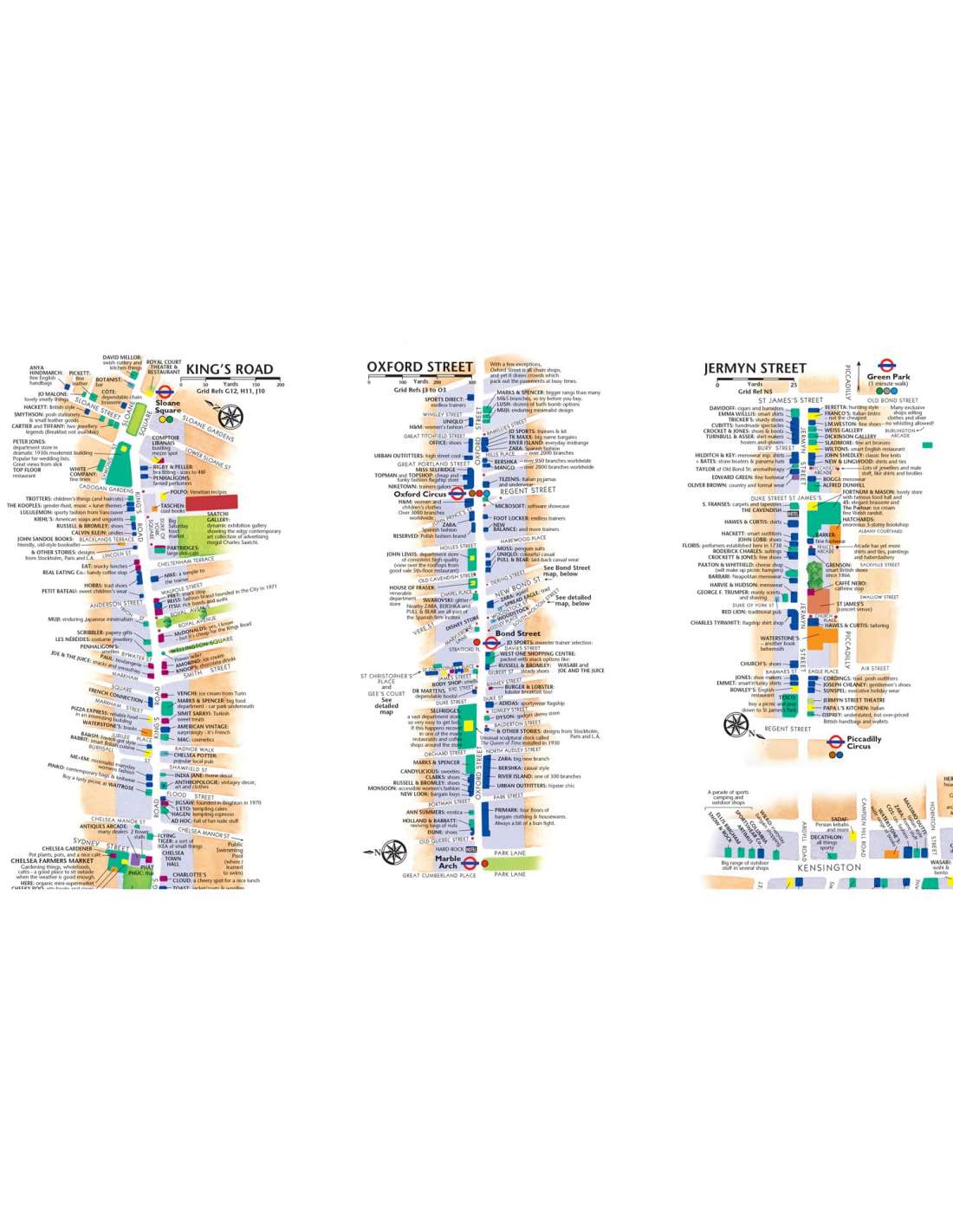
Shop-by-shop street maps for Oxford Street, Bond Street, Covent Garden, Portobello Road, King’s Road, Brompton Cross, Exmouth Market, Beauchamp Place, St. Christopher’s Place and South Molton Street, Knightsbridge, Jermyn Street and Kensington

London’s theatres and cinemas

Places to eat, internet cafés and good places for a picnic

An inset map of the City of London

Comprehensive index

Historical and contemporary anecdotes

 
Kiadás Éve
2022
Nyelv
angol
EAN
9780008492618
No reviews
Termék a kívánságlistádra került

A weboldalunkon cookie-kat használunk, hogy a legjobb felhasználói élményt nyújthassuk. Az oldalról történő elnavigálással hozzájárulsz a használatukhoz, vagy kattints az alábbi gombra. adatvédelem