Kosarad
Jelenleg nincs más termék a kosaradban
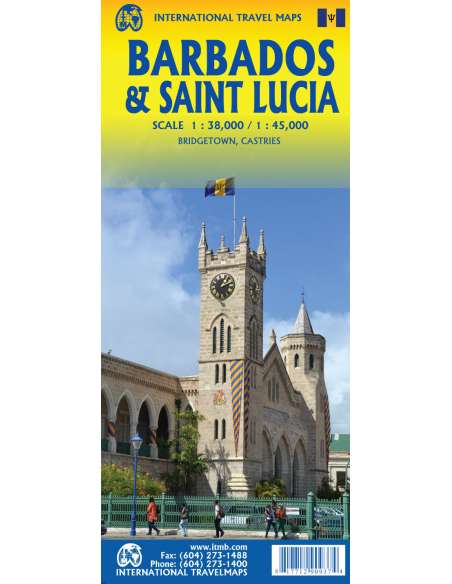
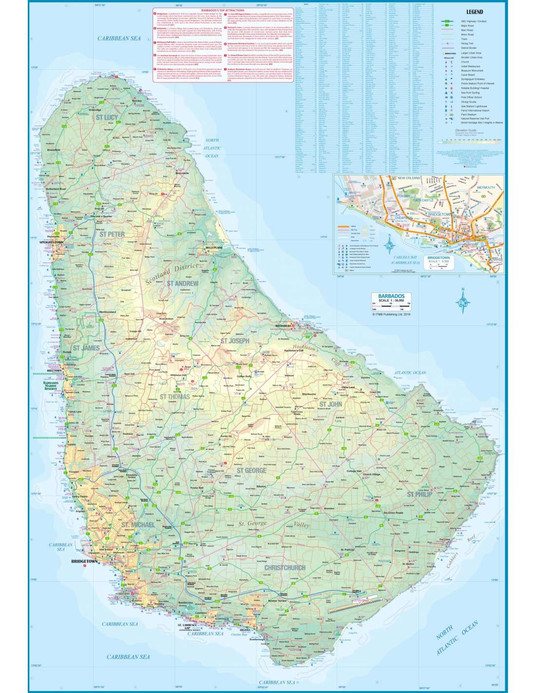

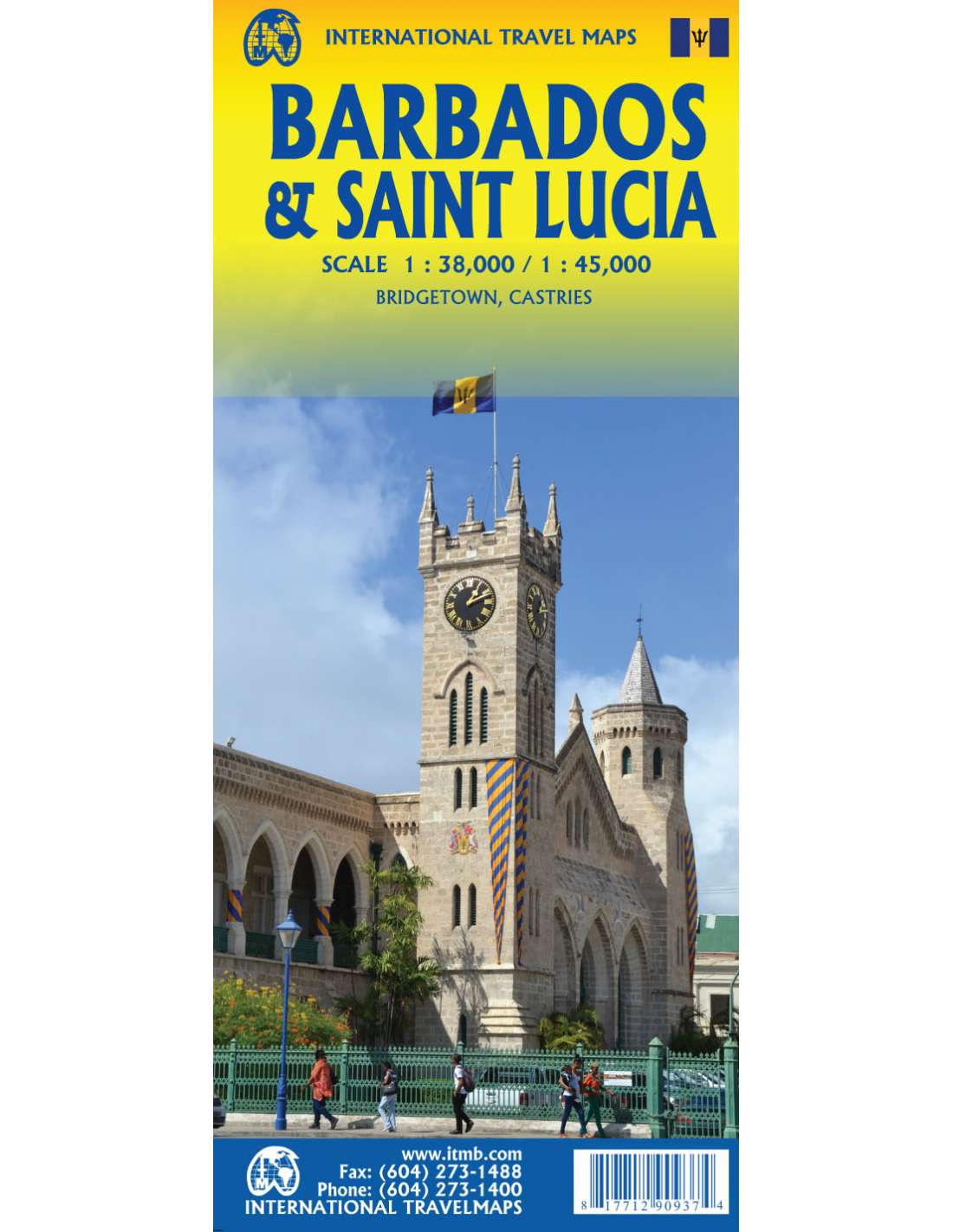
Barbados & Saint Lucia térkép
90937
5 990 Ft
ÁFA-val
1-5 munkanap
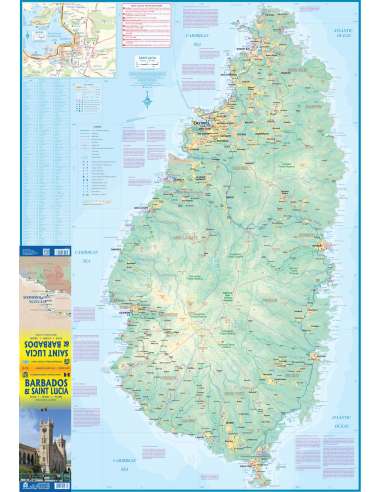
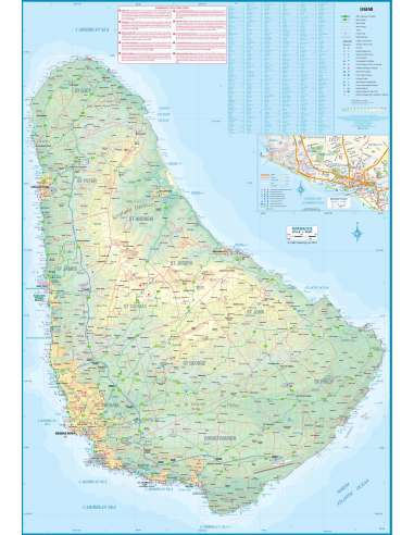
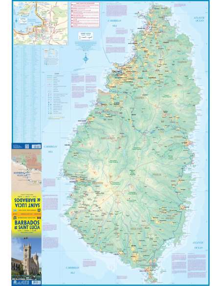
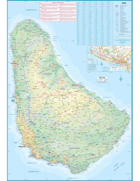
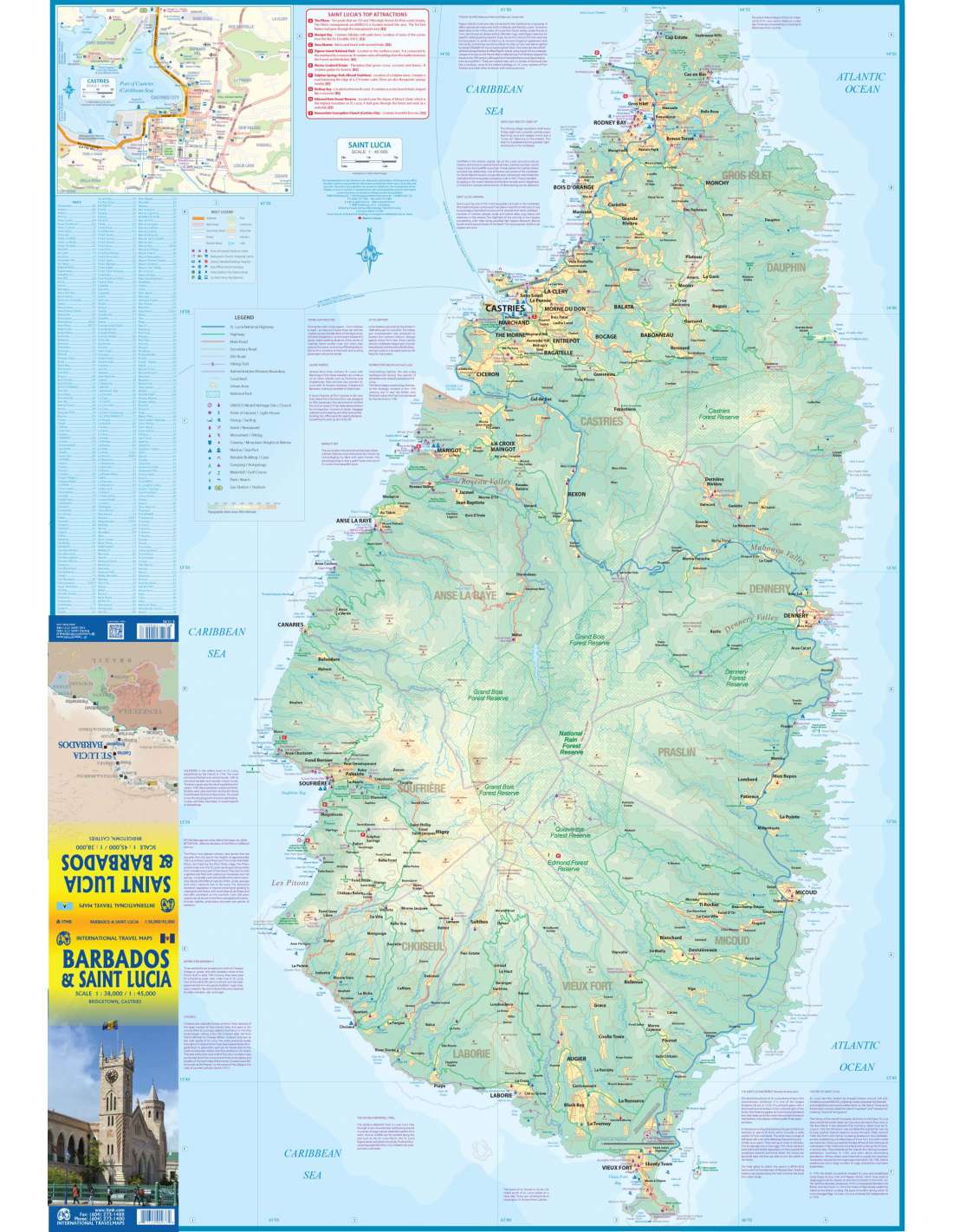
Barbados and St. Lucia are adjacent Caribbean islands and are touristically important in their own rights, but are also frequently visited on the same cruise trip by a variety of cruise ship lines. Saint Lucia fills side 1 as one opens the map, with a comprehensive inset map of Castries, the capital. The interior of the mountainous island is mostly a rain forest and is largely inaccessible. The island has two airports and one cruise ship dock (at Castries) that provides access to inter-island ferries from St. Vincent, Barbados, Martinique, Dominica, and Guadeloupe, so the island is readily accessible internationally. Clusters of resorts abound at Marigot, Rodney Bay, Soufriere, and Vieux Port. A good highway links the far north to the far south. The other side of the sheet covers Barbados in fantastic detail, with an excellent inset map of Bridgetown, the capital. The island’s airport is east of the capital, and the focus for resorts is at St. Lawrence Gap, on the south coast, with another along the west coast, at Holetown. This island is more gently rolling countryside, with several scenic routes through and around the island. We have also included a Ten Top Attractions, including Sunbury Plantation (1660), St. Nicolas Abbey (1658), and Gun Hill Signal Station (1818). Both islands are loaded with history, attractions, and wonderful weather.
Nagyításhoz érintsd meg (kattints)