Kosarad
Jelenleg nincs más termék a kosaradban
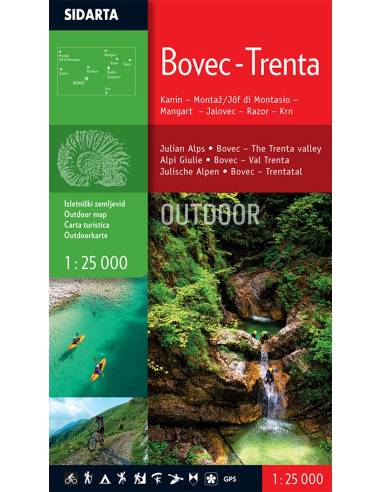
Kanin - Montaž - Mangart - Jalovec - Razor - Krn Méretarány: 1:25.000 The map is printed on both sides. It covers the area of the Bovec basin, the Trenta valley and the Jôf Fuart and Montasio groups in the Western Julian Alps. Beside the waymarked mountain paths, unmarked trails the map includes also trails Via Alpina, Soča trail, Alpe-Adria, The walk of Peace and waymarked foothpaths, bicycle routes, tralsports climbing areas, entry and exit points for kayakers, natural and cultural points of interest and paragliding take-off sites. GPS, WGS 84.
Nagyításhoz érintsd meg (kattints)