Kosarad
Jelenleg nincs más termék a kosaradban
Peak District térkép
2347
2 500 Ft
ÁFA-val
1-5 munkanap
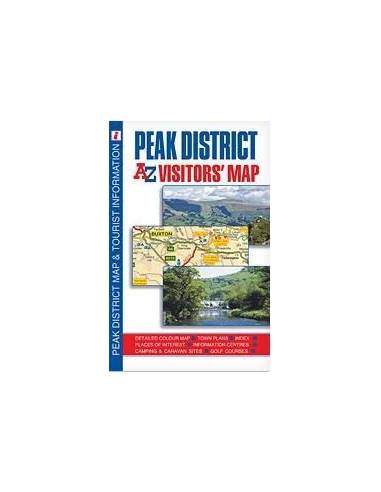
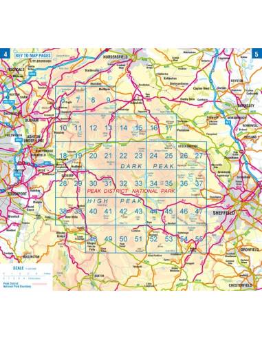
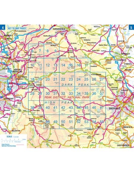
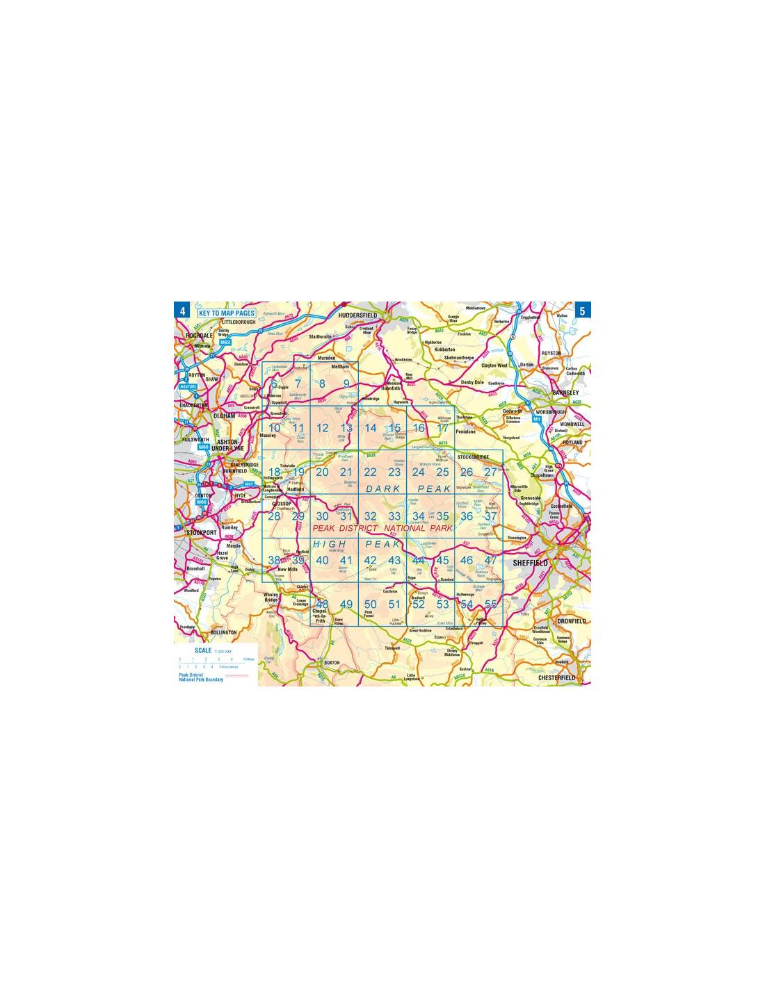
nevezetes helyek - MANCHESTER HUDDERSFIELD BARNSLEY SHEFFIELD CHESTERFIELD STOKE-ON-TRENT NEWCASTLE-UNDER-LIME ------------- This A-Z map of the Peak District is a full colour, single-sided, foldout visitors' map. The detailed road map is ideal for planning your route around this area of outstanding natural beauty and offers an abundance of places to visit. Covering the whole of the Peak District National Park, the map also extends to:
Rochdale
Huddersfield
Wakefield
Rotherham
Chesterfield
Ilkeston
Stoke-on-Trent
Macclesfield
Manchester
Road map detail is shown at a clear 1.8 miles to 1 inch (1.14 km to 1 cm) and includes the following features:
Motorways open with full junction detail, motorways under construction and proposed, service areas, primary routes and destinations, A & B roads, gradients 1:5 and steeper, tolls, mileages, county or unitary authority boundaries, together with spot heights and contour colouring, selected safety camera locations with their maximum speed limits and fuel stations. In addition, a wide range of visitor attractions and places of interest are clearly highlighted.
Also included are town plans of:
Matlock and Matlock Bath
Buxton
Glossop
Bakewell
Castleton
Ashbourne
These plans feature the locations of places of interest and include descriptive text, and information relating to entertainment and leisure facilities within these towns. Selected safety camera locations with their maximum speed limits and fuel stations are also featured.
There is an index to cities, towns, villages, hamlets and locations and a separate places of interest index, showing the corresponding map symbol alongside each entry for easy identification.
Nagyításhoz érintsd meg (kattints)